Downtown Horse Cave, alley
Alley located in downtown Horse Cave. Contact Horse Cave-Hart County Tourist Commission for more information 270-218-0386.
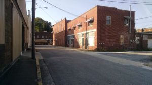
Alley located in downtown Horse Cave. Contact Horse Cave-Hart County Tourist Commission for more information 270-218-0386.
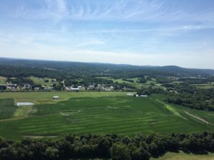
Aerial view of Bonnieville, located in Northern Hart County. Contact Horse Cave-Hart County Tourist Commission for more information 270-218-0386.
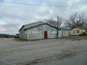
Abandoned Sweet Mill on Sunrise Circle, Horse Cave Ky. Contact Horse Cave/Hart County Tourist Commission for more information 270-218-0386.
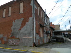
Alley in historic Horse Cave. Contact Horse Cave/Hart County Tourist Commission for more information 270-218-0386.

The Hart County Fairgrounds is located in Munfordville, KY on 31W.
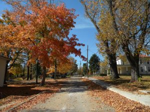

Constructed in 1833, used as the nurses quarters during the Civil War. The building supplemented the Presbyterian Church when it was a field hospital. Before the war it was a school, on room for girls and one for boys.
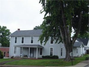
Built around 1823 by Thomas Munford, the brother of the founder of Munfordville. It is built of logs covered by the present exterior.
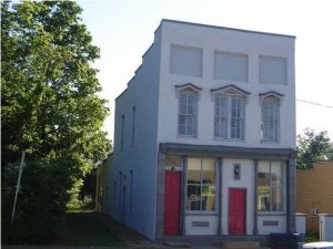
The bank building, 1895, was the first banking facility in Munfordville. It is one of the five Victorian commercial buildings located in town. It is on the national register of Historic Places and a certified KY Landmark.
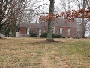
This historic house was built in 1830. It was occupied during the Civil War by Sr officers. The house may have been used by escaping slaves on the Underground Railroad.

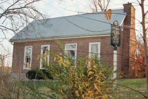
This house was built in 1825, as a prototype for the Richard Munford House, the structure of the house is similar. This house was built to face the old buffalo trail, which later became known as the Amos’ Ferry Road. Today the road leads to Thelma Stovall Park.


George Thomas Wood home, built in 1834 and is on the National Register of Historic Places. GPS: 37°16′22″N 85°53′20″W
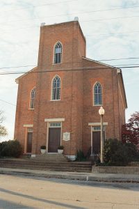
It was built in 1834/35 and added to the National Register of Historic Places in 1980. During the Civil War the building was used as the Union Hospital. Services are still held there today! GPS: 37°16′17″N 85°53′30″W
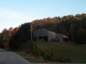

Historic Anthony Woodson house located 1 mile south of Munfordville on the Battle for the Bridge Preserve. House was occupied by the North during the Battle and Siege of Munfordville, the Battle of Rowletts Station and the Skirmish of Woodsonville, three of the Civil War’s significant events at the Battle for the Bridge Historic Preserve. Two miles of interpretive trail. GPS: 37.25712, -85.88699

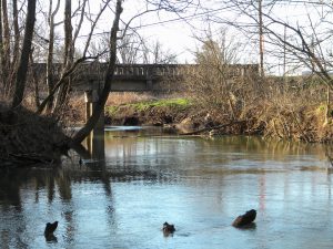
Creek view from the bank at the Historic Jameson House site. Bacon Creek runs through the town of Bonnieville, in Hart County